Survey Route Definitions Panel
The Survey Definition Panel opens with a blank record entry.
![]()
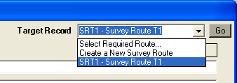
The immediate actions available are to start to Create a New Route Definition, or recall an existing Route Definition for viewing / editing. This is selected using the Target Record pull-down control and click on the Go command button.
If an existing Survey Route is recalled the Chart Sections making up the Survey Route are displayed.
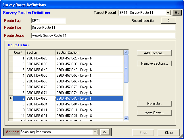
The data fields are listed as follows:
Route Tag - A short text tag or Caption that is used to name and identify the target Survey Route. The Route Tag must be unique within the current RMMS Database (only one Survey Route for each Route Tag)
Route Title - A fuller text description that is used to identify the target Survey Route.
Route Usage - A further text field that can be used to specify any additional details.
Route Details - A grid display listing the Chart Sections making up the Survey Route. The Section records are listed in order of running. The Section Caption column is set automatically when further Chart sections are added to the definition (setting the Section Number, Carriageway Type and Direction). This Section Caption field can be edited by the User if required.
Click on the Save command button to save any data changes to the database.